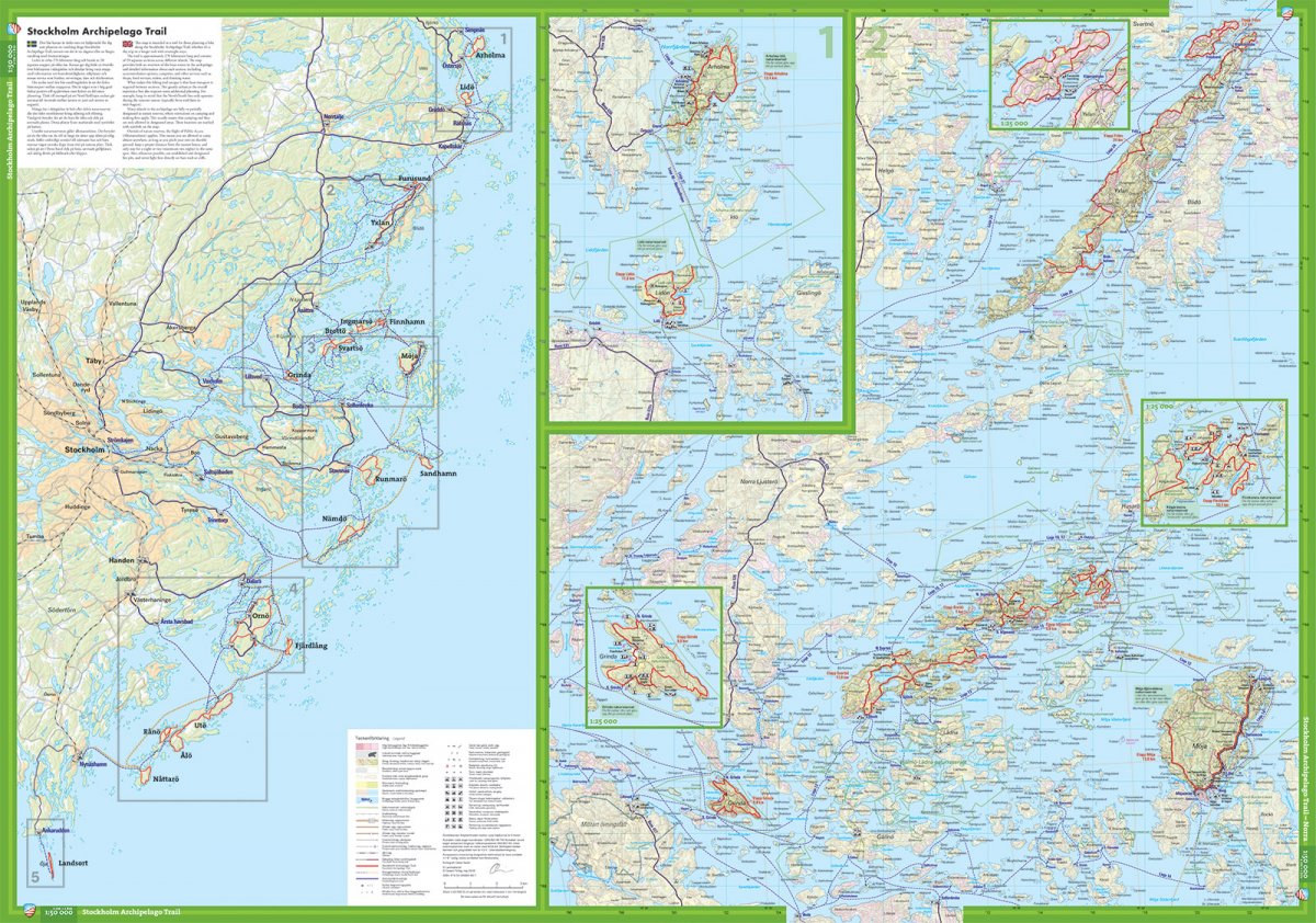
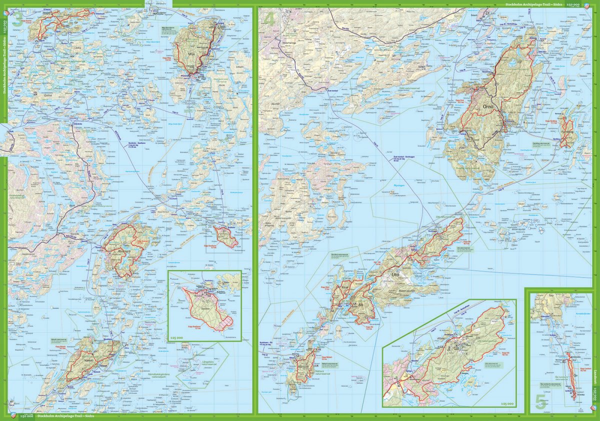
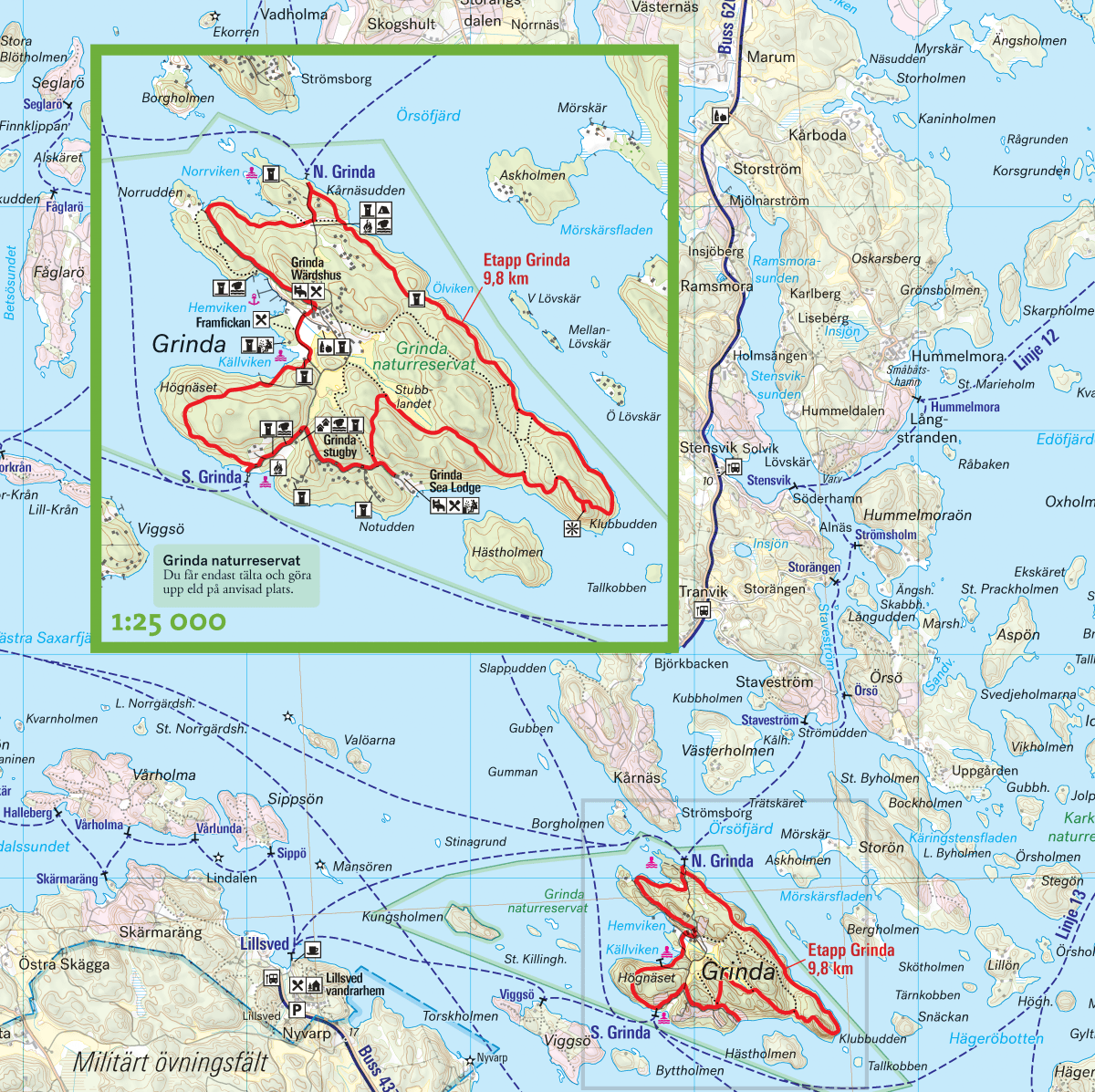
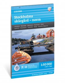
This map is intended as a tool for those planning a hike along the Stockholm Archipelago Trail, whether it’s a day trip or a longer trek with overnight stays.
The trail is 270 kilometers long and consists of 20 separate sections across different islands. The map provides both an overview of the boat routes in the archipelago and detailed information about each section, including accommodation options, campsites, and other services such as shops, food services, toilets, and drinking water.
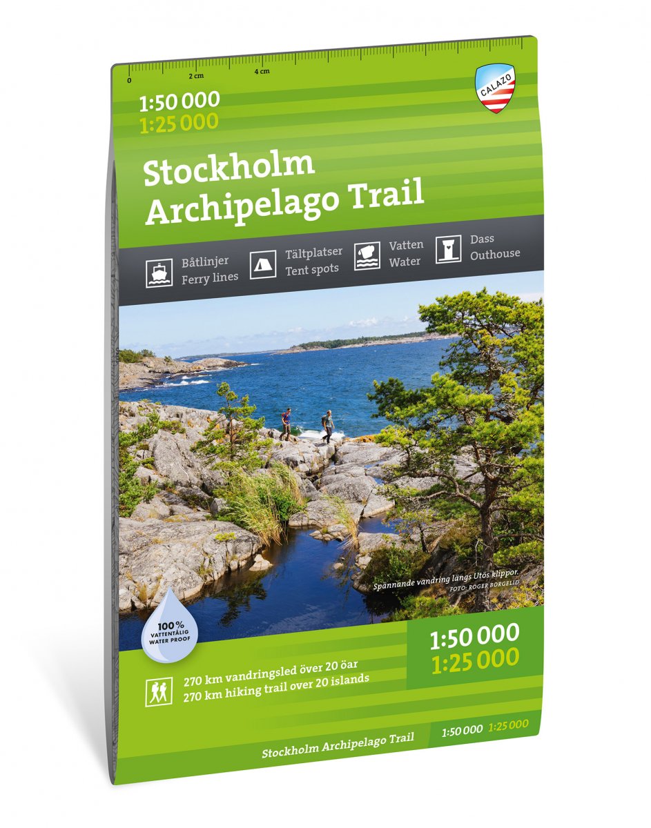
We always print our maps on a material called Tyvek. It is a synthetic fiber that makes the map completely insensitive to water and very tear-resistant. A tyvek map does not tear in the folds or lose color when you use it.