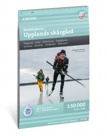
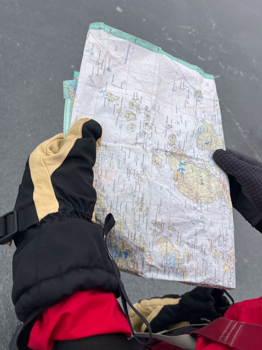
The skating map of Stockholm's archipelago consists of two different map sheets, the northern and southern archipelago respectively. The northern blade covers the coast from Söderarm to Sandhamn and the southern from Stora Värtan to Nynäshamn. Calazo's skating maps are developed in close collaboration with Mårten Ajne, one of Sweden's most experienced and knowledgeable skaters who, among other things, is the author of the reference work Stora boken om langfärdsskridsko. More than fifty years of ice and weather data have been combined with the collective experience of skating clubs to produce these maps. On the Skridskokartan of Stockholm's archipelago, the ice is at the center. The icing is shown with colored and numbered areas according to normal freezing order. Ice assessment is facilitated with markings for surface currents, power points and other weak areas. The journey becomes easier with recommended starting locations, parking lots, land passages and Waxholmsbolaget's piers. In the book Skrinnaren's guide to the archipelago, an in-depth understanding is given of how knowledge of the various ice formation areas can be used when planning and carrying out skating tours in the area. We have come to the conclusion that the best material for a map is Tyvek®. It is made of a synthetic fiber that makes the map completely insensitive to water and very tear-resistant. A Tyvek map will not tear in the folds or lose color when you use it.