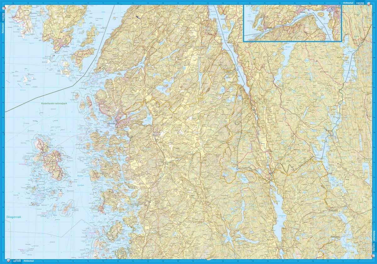
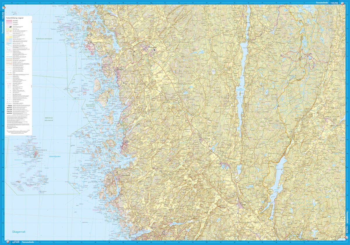
This is the northern of our two maps covering Bohuslän. It is as much a traditional Terrain map for hikers as a Sea and Coastal map for paddlers. We have done the same thorough work with local shorter hiking trails such as the Sotenäsleden and the map covers stages 16-27 of the Bohusleden. We have supplemented the content with important information for paddlers. It can be grounds and fairways, pre-archipelago traffic routes and other interesting services such as grocery stores and saunas in the archipelago. The border between the northern and southern map sheet of Bohuslän runs at Bovallstrand. We have come to the conclusion that the best material for a map is Tyvek®. It is made of a synthetic fiber that makes the map completely insensitive to water and very tear-resistant. A Tyvek map will not tear in the folds or lose color when you use it.