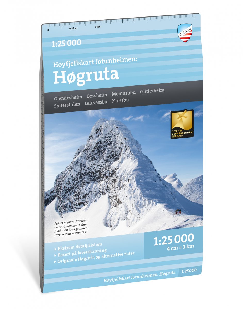
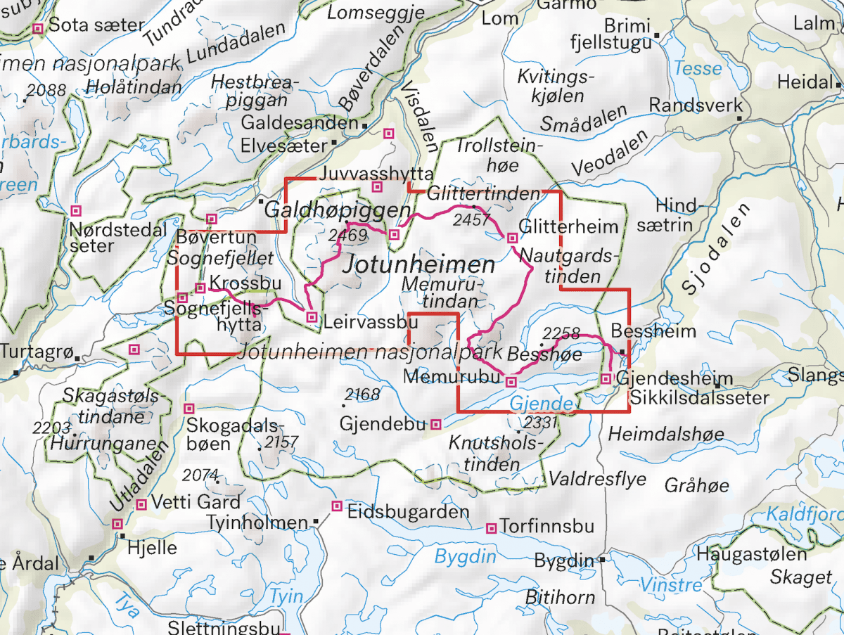
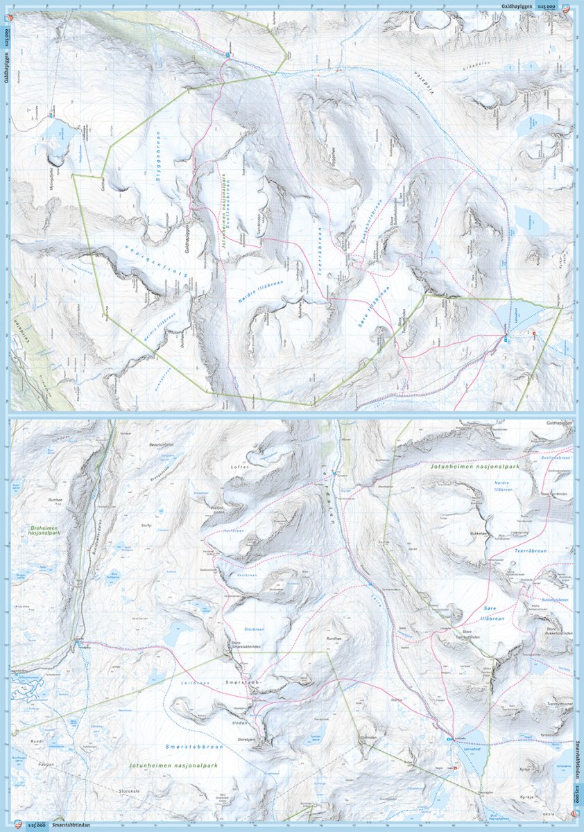
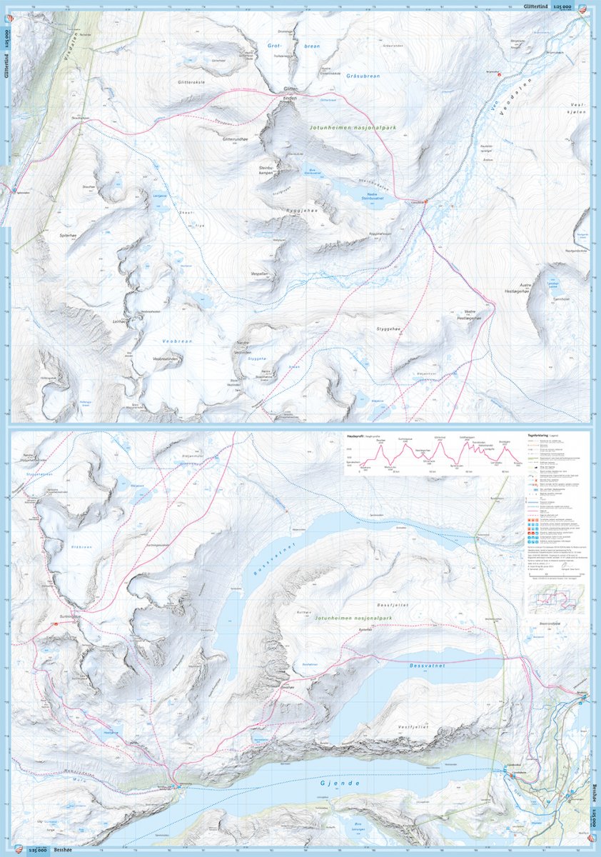
Høgruta i Jotunheimen is Norway’s answer to the Haute Route – a spectacular multi-day alpine ski tour across some of the country's highest peaks, including Galdhøpiggen and Glittertind. The route combines challenging terrain with overnight stays in staffed mountain lodges, offering a unique blend of adventure and comfort in the heart of Jotunheimen. This map covers the entire route from Bessheim to Krossbu.
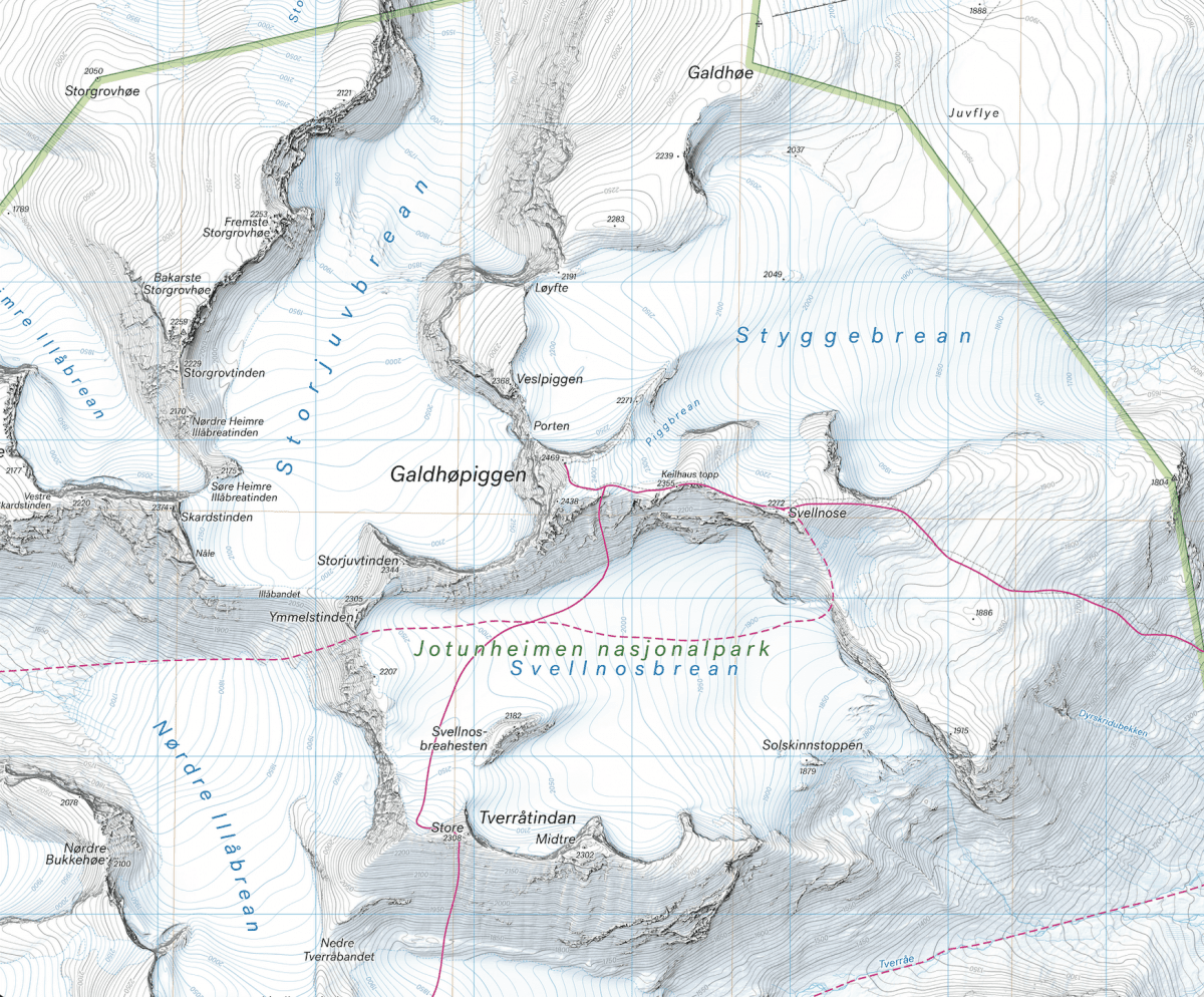
Calazo Publishing has introduced a new generation of topographic maps for Norway. These maps feature terrain information derived from airborne laser scanning (LIDAR), offering a level of detail that surpasses other maps currently on the market. We also invest significant effort in analyzing aerial imagery to accurately update and correct the alignment of marked hiking trails, as well as to add paths not included in official databases.
All our maps are printed on Tyvek®, a material that is waterproof and exceptionally tear-resistant.