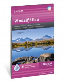
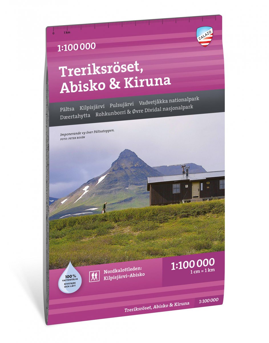
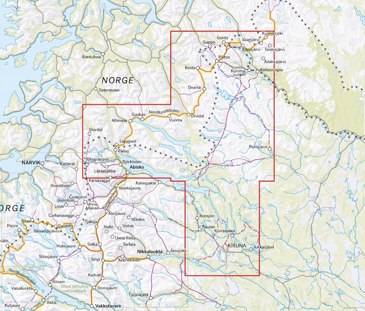
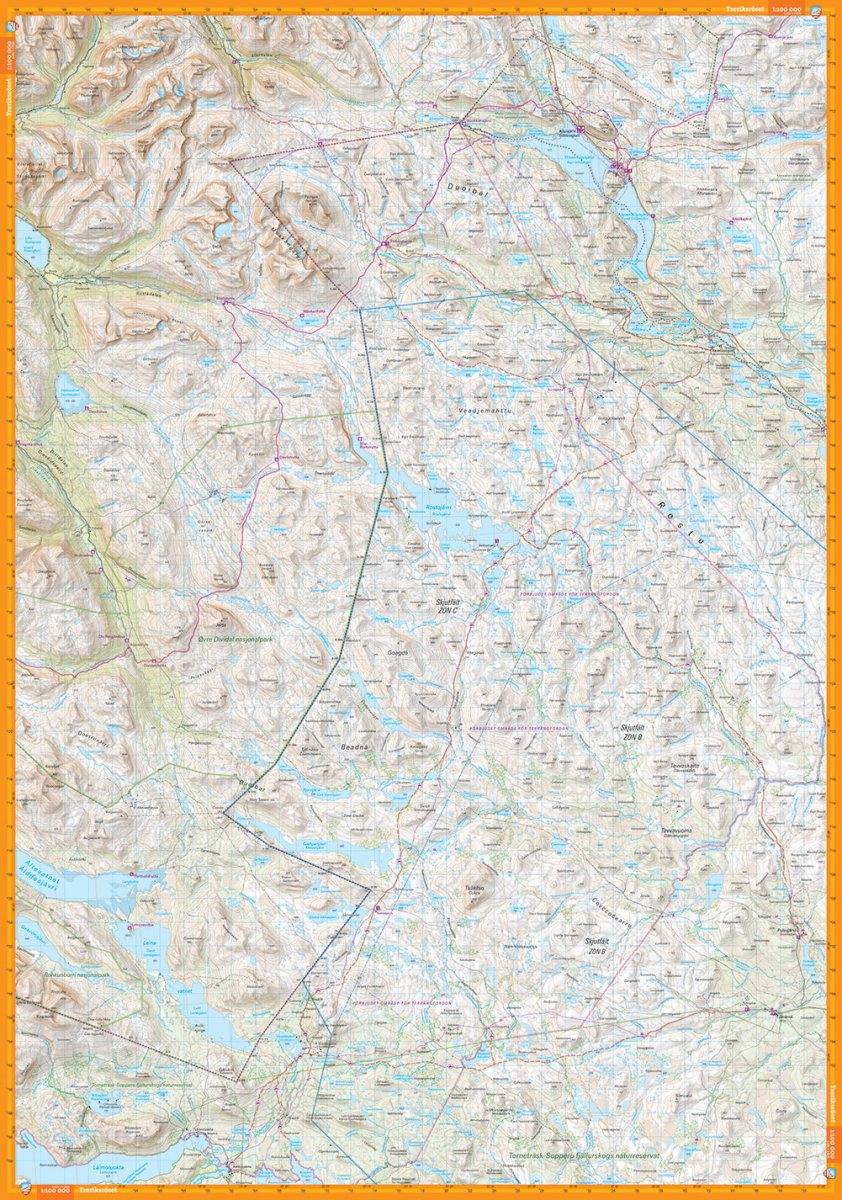
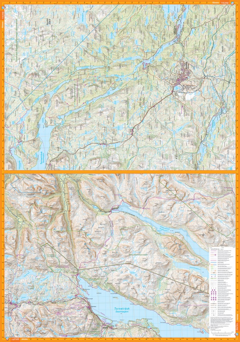
This map covers the mountain area north of Kiruna and Abisko up to Treriksröset. The map contains large areas on both sides of the national border between Sweden and Norway and is perfect for those who want to hike the Nordkalottleden between Abisko and Kilpisjärvi or visit Vadvetjåkka national park. If you hike the Gröna band and have followed the entire mountain range north from Sälen, this will be the very last map you take out of the pack.
Our ten map sheets at a scale of 1:100,000 cover the entire Swedish mountain world, from Sälenfjällen to Treriksröset. Each map sheet shows a large area, which provides a good overview when planning at home around the kitchen table - practical for those who have to make longer trips or cover large areas with snowmobiles. The content is, for obvious reasons, more generalized than in our detailed mountain maps on a scale of 1:50,000 or high mountain maps on a scale of 1:25,000.
The map is printed on Tyvek, a material that is completely insensitive to water and incredibly durable.