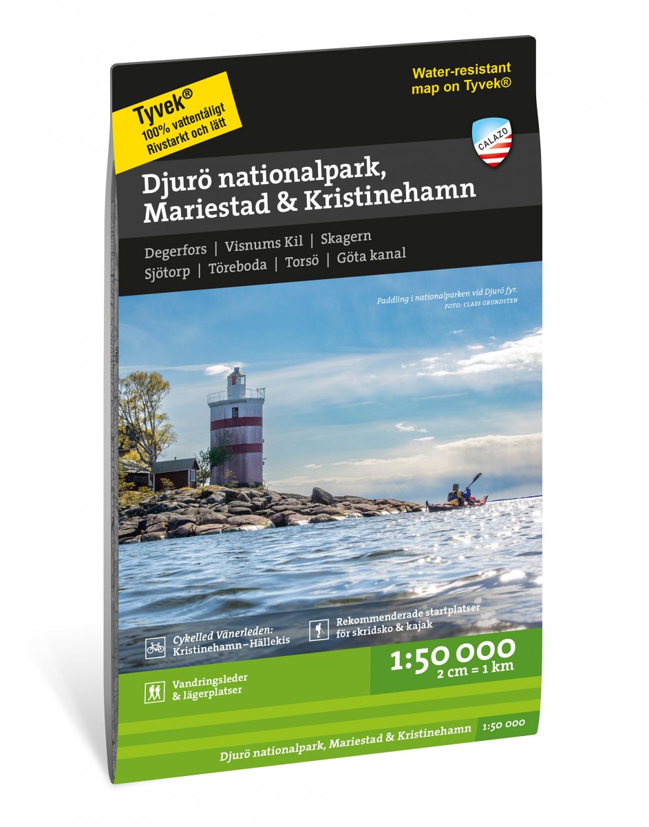
This map is designed for anyone interested in outdoor life in the area between Kristinehamn and Mariestad, including Djurö National Park. It is as much a traditional terrain map for hikers and touring cyclists as it is a lake and coastal map for trips in kayaks or long-distance skates. The map contains a number of marked hiking trails, campsites and wind shelters as well as the national cycling trail Vänerleden. Long-distance skaters in Skridskonätet and paddlers have also contributed with recommended starting places for tours in the area.