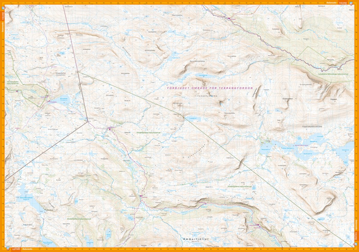
This map is part of the new generation mountain map with terrain information based on airborne laser scanning. It is also the first ever mountain map of this area on a scale of 1:50,000. In addition to completely new height curves with an equidistant 10 meter distance, watercourses and slopes appear in a significantly better way than before. The trails are reproduced with greater accuracy, as are sinkholes, buildings, rocky ground and difficult-to-reach vegetation. This makes it perfect to have with you when you do shorter trips that may require more information about the terrain, for example if you do top tours or fishing. We have come to the conclusion that the best material for a map is Tyvek®. It is made of a synthetic fiber that makes the map completely insensitive to water and very tear-resistant. A Tyvek map will not tear in the folds or lose color when you use it.