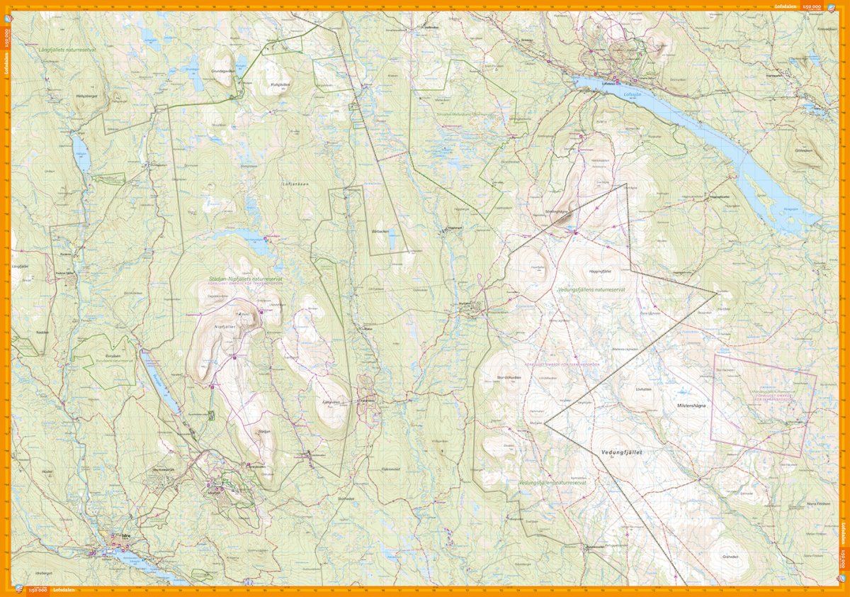
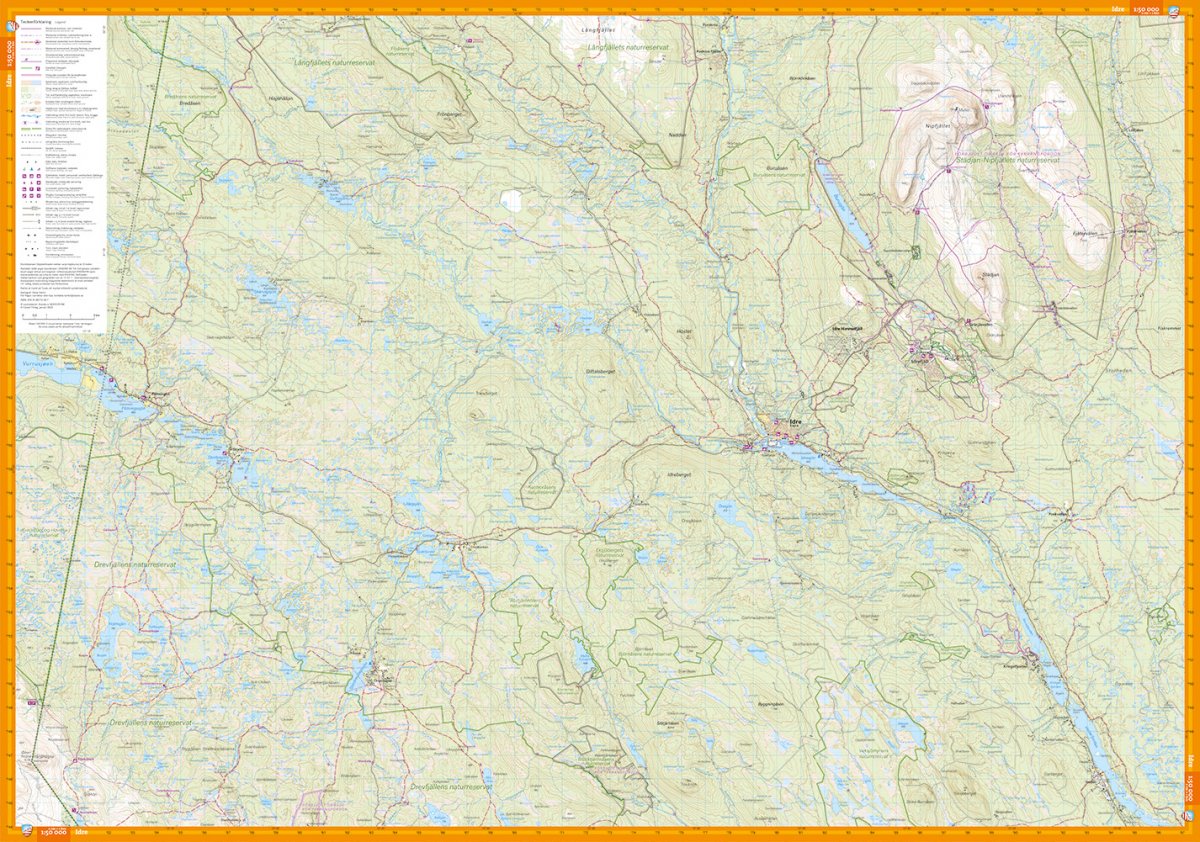
This map has a scale with more detail than the 1:75,000 or 1:100,000 mountain maps, making it perfect for shorter trips that may require more information about the terrain, such as peak trips or fishing. Large section from Lofsdalen in the northeast to the Drevfjällen nature reserve in the southwest, two maps in one if you compare it with the Land Survey's section. But also more details that clearly marked groomed ski tracks, cabin service etc. We have come to the conclusion that the best material for a map is Tyvek®. It is made of a synthetic fiber that makes the map completely insensitive to water and very tear-resistant. A Tyvek map will not tear in the folds or lose color when you use it. We always adapt the sections to the important outdoor areas. In many cases, this means you save money by buying fewer maps.