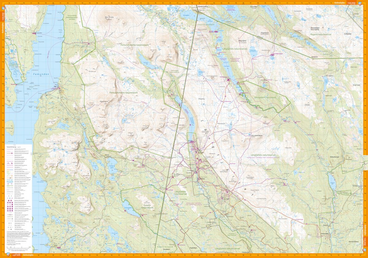
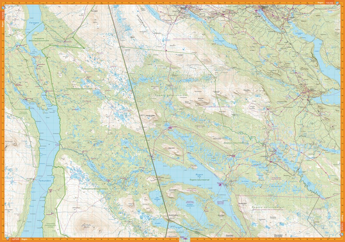
This is a cross-border map of the entire area between Grövelsjön in the south and Tänndalen in the north. The map covers the popular mountain area around Rogen and two national parks; Femundsmarka in Norway and Töfsingdalen in Sweden. The map has a greater wealth of detail than other maps that are based on the mountain information at a scale of 1:100,000, which may be needed if you are going fishing, paddling or ice skating in the multitude of small lakes in the area. We have come to the conclusion that the best material for a map is Tyvek®. It is made of a synthetic fiber that makes the map completely insensitive to water and very tear-resistant. A Tyvek map will not tear in the folds or lose color when you use it.