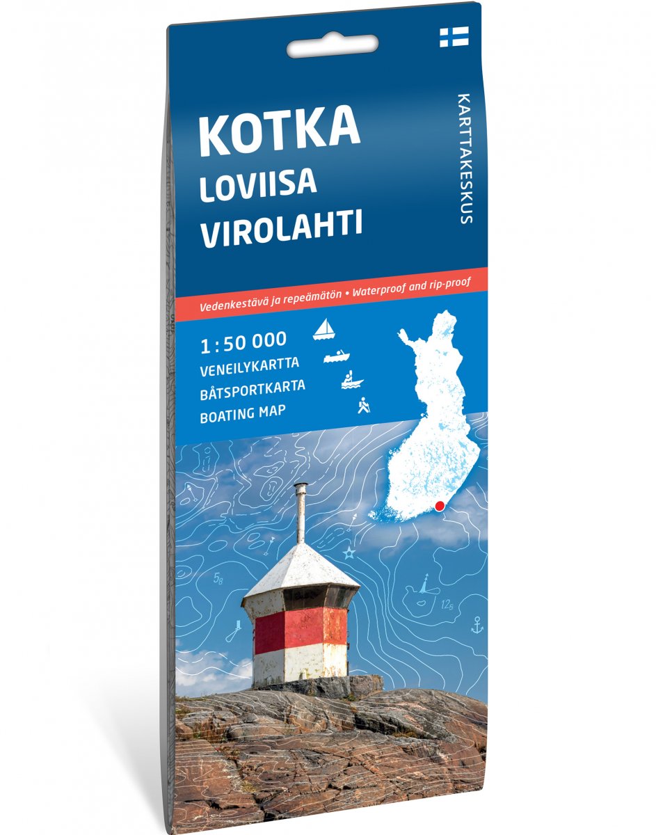
This archipelago map was published by Karttakeskus and was last updated in 2023. When Karttakeskus stopped publishing printed maps in the fall of 2024, Calazo took over part of their selection. These maps differ from other Calazo maps both in appearance and content. Gradually they will be replace with new maps that correspond to Calazos other archipelago maps.
The archipelago map made for boating and kayaking shows, along with terrain information, depth curves, boat lanes and sea marks, as well as launching points and other camping and tourism services.
It does not correspond to a nautical chart and is therefore not suitable for navigation.