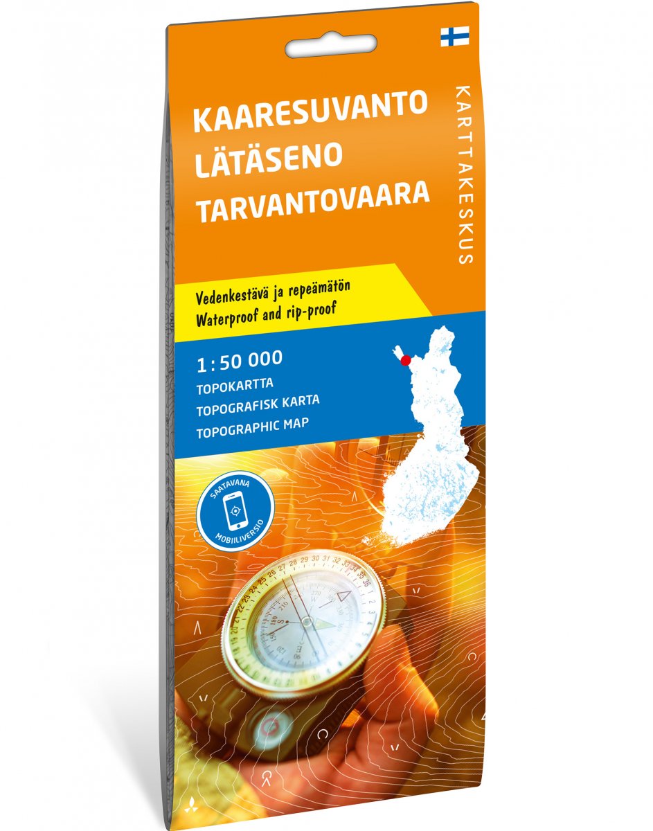
This map shows the southern part of Käsivarsi and the Tarvantovaara wilderness area west of the Hetta–Kautokeino road. Anglers are drawn to the fish-rich rivers Lätäseno and Könkämäeno, and hikers to the northern mountain plateaus. There are also excellent trails for mountain biking.
The map was published by Karttakeskus and last updated in 2021. When Karttakeskus stopped publishing printed maps in the fall of 2024, Calazo took over part of their selection. These maps differ from other Calazo maps in both appearance and content. Gradually, they will be replaced with new maps corresponding to other Calazo maps for the area.