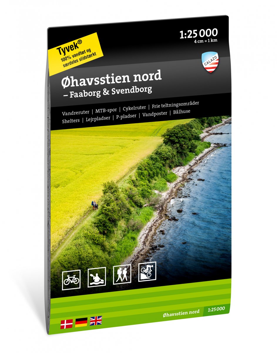
Calazo Outdoor Maps is a new series of maps developed for hiking, kayaking or canoeing, cycling, and mountain biking. This is one of two maps focused on the Øhavsstien hiking route, with all seven sections—totaling 220 km—carefully described. The Østersøruten cycle route (National Route 8) and other local cycling and hiking trails are also clearly marked on the map. In addition, you’ll find information on wild camping areas, campsites, shelters, parking options, and tips on accommodation and overnight stays. Each outdoor facility on the map has a unique number, making it easy to search for more information at calazo.dk/sog, where you’ll find detailed info about exact location, service level, booking conditions, and more for shelters, fire pits, and campsites.